Monday, June 28, 2021

Beast Feast

Now here is something you don't see everyday

This past weekend we were treated to an awfully good cook-out in Bridgton, Maine put on by Dana Masters, the owner/operator of Beast Feast Maine. See their website here. For a taste of your own, you can participate in one of their upcoming barbecues listed on their website under the events tab. 

The main focus of this event featured an alligator gobbling up a bunch of New England lobsters. It was a real piece of culinary art and a visual oxymoron. This captivating contrast (or is it a fusion?) led me to reflect upon the similarities and differences in different parts of the country that define and express our cultural identity. 


As noted before in a previous blog here, traditions now considered "American" go back much further than the Pilgrims. America's first Thanksgiving and Christmas may well have featured grilled gator as seen in this print, published in 1591 from a lost drawing of 1564, depicting the Timucua in Florida. For more information see these links here and here

The weekend's heat and humidity brought back memories of growing up in Florida, and made me think about "changes in latitudes, changes in attitudes" and especially how the use of natural resources, and specifically food, helps define regional culture. 

Even the weather was like Florida's. The day was marked by a high mackerel ceiling and massive, towering stacks of cumulonimbus. To get there we drove through many miles of pines past dark tannin waters. 

However, the sand we passed was brown not white, the beaches are edged with pebbles not shells, the gator above is munching on American lobster (Homarus americanus) not the Spiney Florida lobster (Panulirus argus) which we caught by hand - try that with a Red lobster!

One thing notably missing were the palms of my youth. As I told Dana, when we had grilled gator, rattlesnake, armadillo or possum growing up, we usually had swamp cabbage as a side. 


Swamp cabbage is harvested from the Florida State Tree, the Sabal Palm. The edible part of the tree with the boot jacks still on can be found for sale in the more rural parts of the State. 


You peel off the boot jacks to reveal this...


... and with a little bacon, onion, salt, and pepper added, finally to this.  


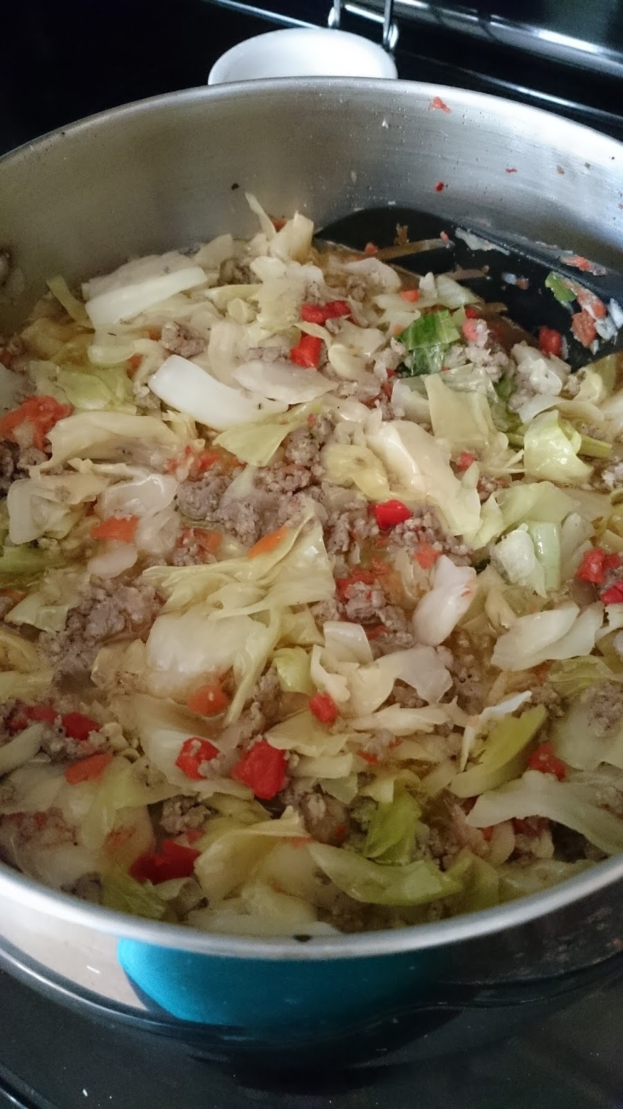
Everyone has their own recipe and culinary secrets (mine includes guava paste, Tabasco and peanut butter). 

The Sabal Palm was also made into hats, brushes and combs. There is even an example of one owned by Winslow Homer on display in his studio now open for tours through the Portland Museum of Art here


As I have migrated north over the years, I have continued to study local history, art and craft. 

With a cracker whip maker at the Florida Folk Festival, 1983

We have now returned to our family's Yankee roots/routes (our family line goes back to a master mariner in Salem, Massachusetts and includes a branch that brews Cottrell Old Yankee Ale here). My great-grandfather fought for the Union during the Civil War. See my blog on that here

Remember, we offer free help with researching your family history and programs on preserving your family heirlooms. Contact us at the Conway Public Library.

Monday, June 21, 2021

Wayfinding

Thanks to these pathfinders the way has been found! 

From left Adam Jared Apt, David Govatski and Rebecca Enman  

Recently I had the incredible opportunity to visit the new Wayfinding exhibit at Plymouth State University's Museum of the White Mountains with some of the curatorial team that created it. They coordinated the contributions of dozens of lenders, sponsors and supporters, all of whom are credited at the beginning of the exhibit. You can read more about the exhibit here

We were accompanied by another historian and an interesting creative couple (one a furniture master, the other a book artisan) all with great interest and insights into maps and white mountain art and history.  

For an exhibit ostensibly about maps, they have created an astonishing story, using a wide variety of objects. 


Upon entering the space, you are greeted with an unexpected assemblage of disparate elements including a dog sled, ceramic plates, surveying tools, books, field notes, letters, stereo views and a bicycle wheel.  


(not that this has anything to do with Marcel Duchamp)


They have created a display environment of simultaneous intimacy and vastness. This was especially challenging due to the fact that much of  the interior architecture reveals that the building was once a church. That however is appropriate given the obvious reverence to the both the subject and its treatment in this space. 

The combination of two and three dimensional items on display is visually stunning and sculptural and the labels intellectually stimulating - even downright Shakespearean! 


Bard-like romantic and philosophical aphorisms comparing maps to campfires and epic poems and so on, are spread throughout the exhibit, with none of the confusing non sequitur saccharine nonsense about rose names and nightingale songs. This is real, important stuff!


The exhibit also features a video projection of the Hitchcock Atlas of 1878.  


Display cases allow close examination of rare and fragile items. Let's examine the two display cases we can see in the photo above and then navigate into the small room beyond them to explore how they expand on one subtopic - topography. 

The mysterious floating map above was created by Robert Scott by layering thin balsa wood sheets using cutouts from the Franconia quadrangle map.  


Below the Scott map is the 1872 Snow and Bradlee map made of papier-mache along with it's original packaging. This was one of two published relief maps of the region from the nineteenth century. 


The other, the 1879 Schedler relief map, can be found in the case along the wall (it is the larger map on the right). 


On the left side of this case, are two 20th century relief maps made by Conway's own Rodney Woodard along with a metal mold for making another of his plastic maps.  We have explored relief maps in previous blogs here and here and here

Now let's move to the doorway beyond and enter the "Mountain Studio."  


Here you will find a bright, bold, colorful, welcoming laboratory with hands-on activities to explore and create relief maps. It is fun for all ages! 


You should not leave the exhibit without picking up a few souvenirs and signing up for the summer speaker series. 

You can bring home a nice, always handy, book mark. 


Front of bookmark above
Back of bookmark below


Summer Speaker Series brochure


And a fold-out catalog of sorts chock full of images and information. 


While extensive in its scope, there is one type of map I would like to have seen included, namely the "vertical" maps created for rock climbers. 


See our previous blog here and related video of Cathedral Ledge here for an example. This map is also featured in our cell phone history mapping program theclio in which you turn on your cell phone's location (or search for a location, title, or ) and it guides you to local history sites. The entry for Cathedral Ledge is here


At the end of our adventure we were treated to an exceptional opportunity to see a new acquisition for one of the collector/curators, a hand-colored map showing the Portland to Ogdensburg railroad line. The railroad had many interesting connections to White Mountain art and history. For example see our previous blog here. You can read more about that railroad line here and here

In conclusion, remember ... 


Thanks for reading and please let me know what you think! For more maps visit us at the Conway Public Library's Henney History Room. We have over 400 maps in our collection!

Monday, June 14, 2021

A Big Bathtub on Main Street?


Recently a patron asked about this somewhat mysterious and enigmatic piece of public sculpture in the Rotary Park at the corner of Route 16/302 and Depot Road in North Conway. 

For me, this object can serve as a story gateway that leads from this monument, to a man, to a house, to maps, to lasers and finally to the mountain summits at the edge of the horizon for some of the most famous views in White Mountain Art. 

For the younger crowd, the site serves as a Poke gym through the Pokemon Go mobile game (My son knew all about that subject, I on the other hand was clueless about that). See an article about that from the Conway Daily Sun here

However, I knew just by glancing at it that for past generations, it served a more practical function as part of the necessary infrastructure during the horse and buggy days. 

It is a watering trough, a once critical remnant of a lost landscape and time period that remains today only as a vague memory. 

To explore the story, we will use both modern technology and also look at historic photos, maps, newspaper clippings, wills, legal documents, paintings, prints, sculpture, and even rugs and sheet music. 

You can start your own search with your smart phone through the "Clio" app. The entry for this fountain is here. To look for other historic sites in the Conway area check out this link here. To use this program simply turn on your phone's location and ask Google to search for "the clio dot com" and as you drive around it will direct you to a host of historic sites. 


The Google Street View image above, as well as a series of related maps and satellite images, can be found here.  You can use this site to navigate to the park. It is conveniently located just south of the new home of the Mount Washington Valley Chamber of Commerce and west of a free parking lot from which to explore the area. 


You can see the Chamber website here

The 2003 Town of Conway Annual Report here reveals that this was not it's original location. It was moved here in September of that year. 


The photo in the lower left corner shows Poco & Athena as the "first customers" to the fountain at its new location.  (Photo by Karen Hallowell) 


Also on the cover is a photo of Gary Webster, Chair of the Board of Selectmen, along with members of the North Conway Rotary Club, cutting the Ribbon at the opening ceremony for the Depot Street Park. (Photo by Lloyd Jones/Conway Daily Sun). 

Coincidentally construction of the Conway Public Library's new addition also began in 2003 as evidenced by the photo of then Librarian, Margaret Marshner, standing in front of the Conway Public Library. (Photo by Tom Eastman, then of the Mountain Ear).


By moving the fountain to the new location, the trough lost it's original context and some of the story connections. We will attempt to reset that here (at least virtually). The Conway Public Library's Henney History Room has a photo of it in it's old location here
As documented in bold capital letters on the watering trough, it was a gift to the community from Payson Tucker in 1894. 


Here is a portrait of Payson Tucker (no, not the fish face above, but rather the guy with the serious handlebar mustache below, although there is a bit of a resemblance if you look closely). 

Tucker was a railroad magnet, business entrepreneur, and philanthropist who had a summer home in Conway (more on that later). 

According to "Find a Grave" here he was born Feb 14, 1840, died at age 60 on April 27, 1900, and is buried in Evergreen Cemetery, Portland Maine. 


The Conway Historical Society has a marble bust of Payson Tucker which we believe was originally presented to the Maine Eye and Ear Infirmary by his widow after Payson's death. A fifty-six page pamphlet from the November 21, 1900 "unveiling" of the bust can be found here. Information about the sculptor, Frederick A. Shaw, can be found on p. 25 here. Shaw's name is inscribed on the back of the bust. 


According to wikipedia and mainememory the Maine Eye and Ear Infirmary was founded in 1886 and merged with Maine General Hospital in 1951. See links here and here

That same face was also profiled on a three-handled silver trophy cup with a gilt (gold) interior, made by Tiffany and Company now on display at the Portland Museum of Art  here (click on images to enlarge them). 


Another side of the cup celebrates Tucker's involvement with Union Station in Portland Maine. 


More images of Union Station can be found here and information here
The inscription can be seen at this link here


It reads "Presented to Payson Tucker by employe's (sic) of the Maine Central Railroad - a testimonial of affection and x?" can't read the last word. December 1896," two years after Payson Tucker gifted Conway the watering trough.


Tucker's summer home in North Conway was featured in an 1892 Atlas which we have at the Conway Public Library's Henney History Room. Here is the same scene today from Google street view here


You can still see the stone posts flanking the entrance to the hill top site, now the location of the Red Jacket Resort. You can read more about that history on their website here

The trees in the photo obscure the stable which still exist, and can be seen in the print above. It now serves as the Birchmont Tavern. 


Tucker's will, which can be found through the library's ancestry database, insert image, discloses, divulges, informs, indicates includes detailed gave it to his wife.

We recently received a donation of the following postcards that help show more of the site when it was the Birchmont Club (click on images to enlarge them). 


Note the magnificent birch tree from which the summit home gained its name (more on this tree in a future blog).  

At this point the estate included tennis courts...


... and a fine dining room. 


What the post cards and photos above do not show are the magnificent views from the hill, which had been discovered by an earlier generation of painters and photographers. However, before we look at some of their art, let's look at some maps to orient ourselves. 


The 1892 map above is from the same atlas that has the print of Tucker's summer home. It links his house to other sites we will explore in this and other blogs including his next door neighbor, the home and studio of Benjamin Champney. 

The NH Stone Wall Mapper program here offers combination of both modern and historic maps. On the one hand lidar lidar, lasers on the other hand layer old quad maps 1896, 1942 and 1945. If have any questions about how to navigate through this just contact us. 

Here is a fairly standard satellite view of the north half of Sunset Hill. 


The image is bisected by the railroad tracks and just to the right of that busy Route 16/302. 

On the right half of the image you can see the curving entrance driveway leading to the red roofs of the Red Jacket Inn and it's blue pool. 

On the left side of the image you can see farmed fields, woodlots and the Saco River with a wide beach. 

Below is a view of the same coordinates with the lidar layer selected. Lidar stands for (laser imaging, detection and ranging) and is a remote sensing method in which a pulsed laser measures the relative distance of the surface of the ground and the computer generates an image as if the buildings and trees have been removed showing the shape of the landscape. 


The view above is as if the sun were coming from the northeast and below is as if the sun were coming from the northwest. If you compare the images, look for the meandering brooks, the field patterns, you can even see the Red Jacket's swimming pool. 


You can also apply layers of quad maps this one blow from 1896. 


Above you can see ten buildings along the road, the big house and large barn that was part of Payson Tucker's estate. 

This one below from 1942 you can see more roads and buildings being added 


Notice the changes over in a three year period in 1945. 


Now to the vista the views from the ground to the mountain peaks along the horizon. 

This small hill is home to an astounding number of White Mountain paintings. It was the center of many viewpoints looking in many directions. 

The view to the northwest is featured on the cover of our main history of Conway and while unsigned, the artist was probably a student of Champney.


That painting is now in the collection of the Conway Historical Society and that birch tree is featured prominently. 


In previous blogs we examined different versions of a single view of Mount Washington from Sunset Hill starting with an enlargement of a print at the library. 


I mentioned then that the scene had been enlarged for easy study and can be found on the stair hall leading down to the Henney History Room at the Conway Public Library. The print was made from the painting below by Kensett. The painting was purchased by the American Art Union and made into an engraving by James Smillie, and distributed to 13,000 Art Union subscribers throughout the country.

The print at the library above was based on this painting Mount Washington from the Valley of Conway by John Frederick Kensett, below. It is now in the collection of the Wellesley College Museum. You can read about it here on the White Mountain Art website. 


Compare the painting with the photo below which I took last autumn, hoped leaves off the trees, but still too many evergreens to capture the scene as it was. 


Although if you could cut some of those trees and add a few sheep you would recreate the view Kensett saw. 

Today, you can’t see this view most of the year due to the trees that have grown up since the days when this was a farming landscape and the fields were more open. 

Another Kensett painting shows the view in summer (no summit snow) here


Thanks to the hard work of webmasters and art collectors John Henderson and Roger Belson, the White Mountain Art website includes twenty-one more painting of this same view (not counting the four we have already examined). 
 
Many of them have "from Sunset Hill, North Conway" in their title. You can also confirm the id by the summit profiles of Mount Washington usually at or near the center and pyramidal sharp point of Adams on the right. 

While the Kensett view is the most famous, I must admit that my favorite is this luscious luminous painting by George Inness here


I did a video tour about this painting for an exhibit at Phillips Exeter Academy in 2013 which starts with this painting. You can view it here

Currier and Ives published their version of the painting around 1860. Later their image was used as inspiration for wall decoration in the Currier and Ives room at the Eastern Slope Inn.

Currier and Ives Print
You can read more about the Currier and Ives here

Other examples of Tucker's involvement in the arts include this sculpture below which you can read about here


He was also involved in this history monument here and here


He provided the granite base for the Longfellow sculpture below. 


You can read about that here and here

According to the pamphlet about his own marble bust (on page 25  here) he also understood and appreciated the social and cultural contexts of art. "He loved the good, the true, and the beautiful."

"Once in my library as he stood admiring some rugs I had shown him, he said, "But, ah! doctor, think of the condition of the life of those in the Orient who made them, "of fingers weary and worn, of eyelids heavy and red," and how little those poor people received of what you have paid for them." And there was that twinkle in his eyes and expression of his face that spoke volumes." 

An interesting sentiment for a successful capitalist. This sheet music was dedicated to him in 1895. 


You can read about that here. Perhaps some day we will be able to hear the tune at one of the area's music venues in honor of one of our early patron of the arts.